OUR WORK

Collaborative
science

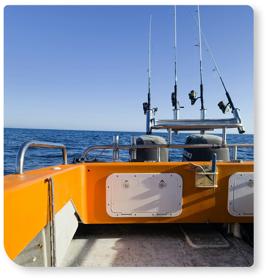
Procellar-ID gathers seabird sightings at sea thanks to the work of its collaborators, who receive specific training in species identification and data collection. Two alternative monitoring methodologies have been developed, each dedicated to different groups of species according to their abundance: opportunistic sightings, focused on less frequent species, and snapshots, visual counts dedicated to the more abundant species.

Data collection

Opportunistic
sightings

During their activities, our collaborators record all at-sea sightings of less frequent species (all except Cory’s shearwater, yellow-legged gull, and common tern), including records of non-marine birds during migration. These observations are georeferenced and also include relevant ecological and environmental data.

GPS
position

Number of
individuals

Behaviour

Species

Association with cetaceans

Date

Essential
data

Snapshots

To monitor the more abundant species, namely Cory’s shearwater, an alternative methodology was developed through visual counts of seabirds around the vessel, conducted during fixed and predefined time intervals. These surveys are carried out by specifically trained observers on board the vessels of our collaborators. During snapshots, other relevant variables are also recorded, such as the presence of cetaceans and sea state conditions.

Incidents

Unfortunately, in the marine environment, birds are also regularly observed in concerning situations. For this reason, the platform includes a specific record dedicated to observations of seabirds that are injured, dead, and/or interacting with fishing gear or marine litter, often found entangled.

The value of
opportunistic data

Despite the inherent biases and analytical limitations of opportunistic data, these provide a great volume of cost-efficient ecological information with wide spatio-temporal coverage, increasing the chances of detecting unusual events and rare sightings that might otherwise go unnoticed. To account for the lack of absolute effort quantification, some collaborators record subsets of boat GPS tracks during sea activities to estimate spatial sampling effort, while also factoring in variables such as sea state and number of observers. Additionally, by recording the presence of cetaceans during seabird sightings, we incorporate relevant ecological conditions that may influence data interpretation. This is particularly important given that our whale-watching collaborators actively seek and prioritise cetacean encounters, and that some seabird species are known to associate with cetaceans in feeding areas.

Submit your data

Required Information
Optional Data
Personal Data
Privacy Overview

This website uses cookies so that we can provide you with the best user experience possible. Cookie information is stored in your browser and performs functions such as recognising you when you return to our website and helping our team to understand which sections of the website you find most interesting and useful.